
11 to 18 April 2024
Landrail Settlement, Crooked Island to Clarence Town, Long Island, 23° 6′ 08″ N, 74° 57′ 17″ W, 45nm, 12 hours 30 minutes
to West Bay, Conception Island, 23° 51′ 10″ N, 75° 7′ 30″W, 45nm, 8 hours 30 minutes
to New Bight, Cat Island, 24° 17′ 50″ N, 75° 25′ 78″ W, 41nm, 8 hours 30 minutes
to Alligator Point, 24° 38′ 66″N, 75° 43′ 14″ W, 20nm, 3 hours 30 minutes
to Half Moon Cay, 24° 34′ 72″ N, 75° 57′ 47″ W, 19nm, 5 hours
to Millars Bay, 24° 39′ 45″ N, 76° 11′ 36″ W, 17nm, 3 hours
to Pau Pau Bay, Eleuthera, 25° 08′ 99″ N, 76° 11′ 70″ W, 37nm, 8 hours 30 minutes
On closer consideration we decided against stopping off to visit our Customs Officer’s family home of Rum Cay. The anchorage was reportedly prone to swell and we had already encountered more of that than we liked. Instead we decided to go direct from Landrail Settlement up to Conception Island, a tiny uninhabited island on the eastern fringe of the Bahamas. It had been highly recommended by our new friends, Carol and Steve, who we had yet to catch up with again since the BVIs.

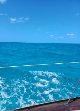
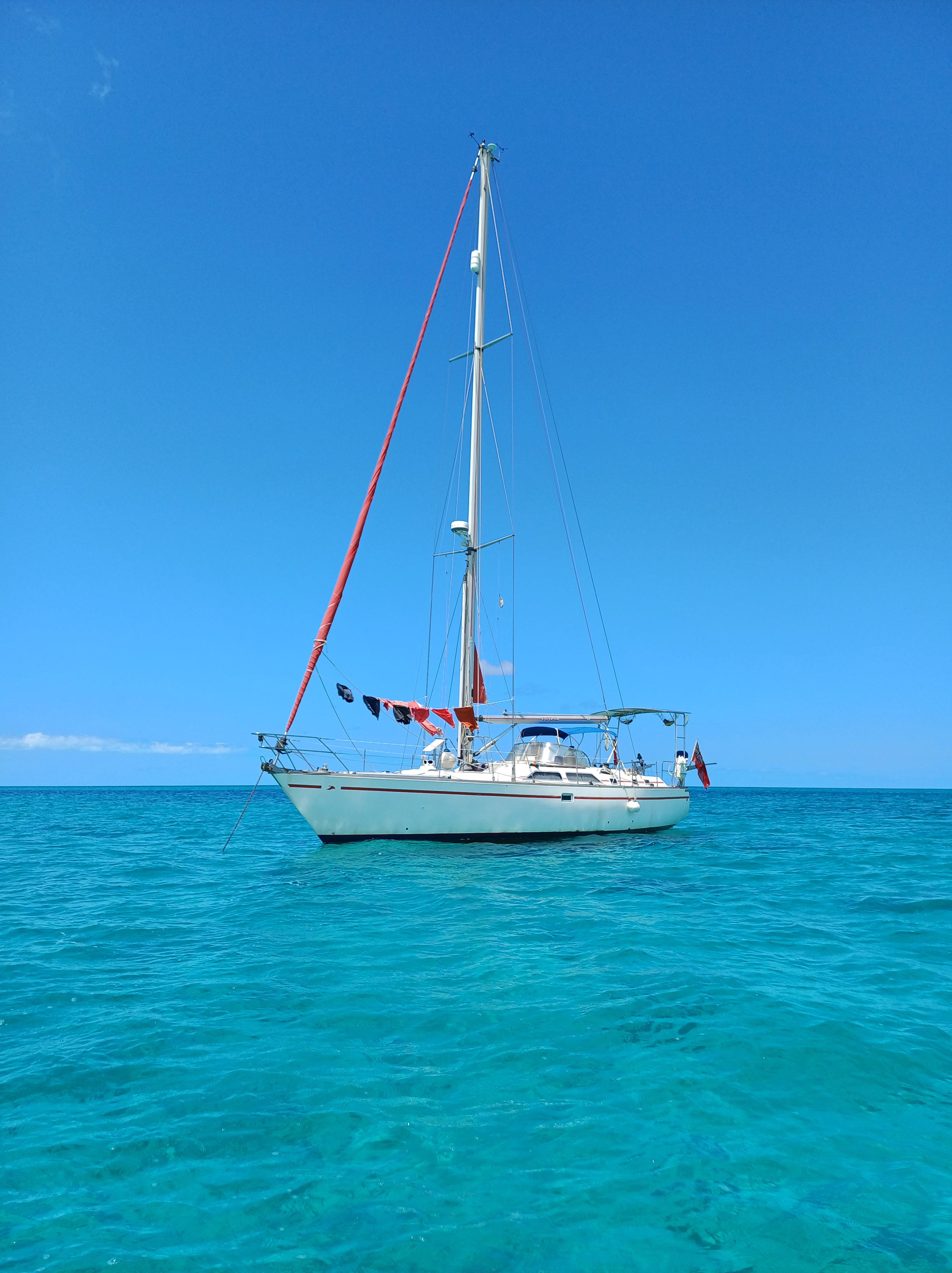
Our passage there was another important lesson in having a plan B and a plan C to go with plan A. When we headed out, we had great sailing wind but, on the outskirts of the Bahamas, we were exposed again to the Atlantic swell. Regular readers will know that swell on the beam is our nemesis and so we looked at other options. We found what we thought would be a good anchorage on the southwest tip of Long Island and diverted there. On arriving, however, we realised it did not offer the protection that it logically should. Another example of that weird Bahamian swell.
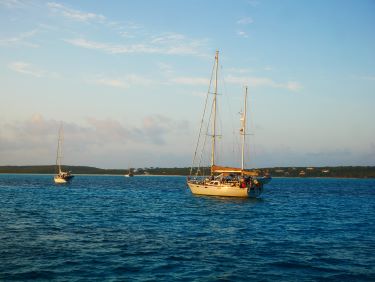

At the same time, we discovered that Carol and Steve were approaching Long Island after their passage from Puerto Rico. They were heading to Clarence Town, a little under halfway up Long Island on the windward side. We figured this was as good a plan C as any, although with strong wind forecast, it might be quite exposed. With low lying reefs at it’s tricky entrance, a daylight approach was essential and, after all our extra detour miles, we only just made it. We anchored next to Innamorata II and, unable to launch our dinghies in the strong wind, had our unexpected reunion via WhatsApp instead!
Leaving Carol and Steve to check into the Bahamas on Long Island the next day, we continued with our plan to get to Conception Island. If we didn’t go that day, more northerly winds would keep us in Clarence Town for a few days and we were keen to keep moving on to meet our hurricane zone deadline. We hoped they would catch up with us somewhere else along the way.
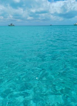
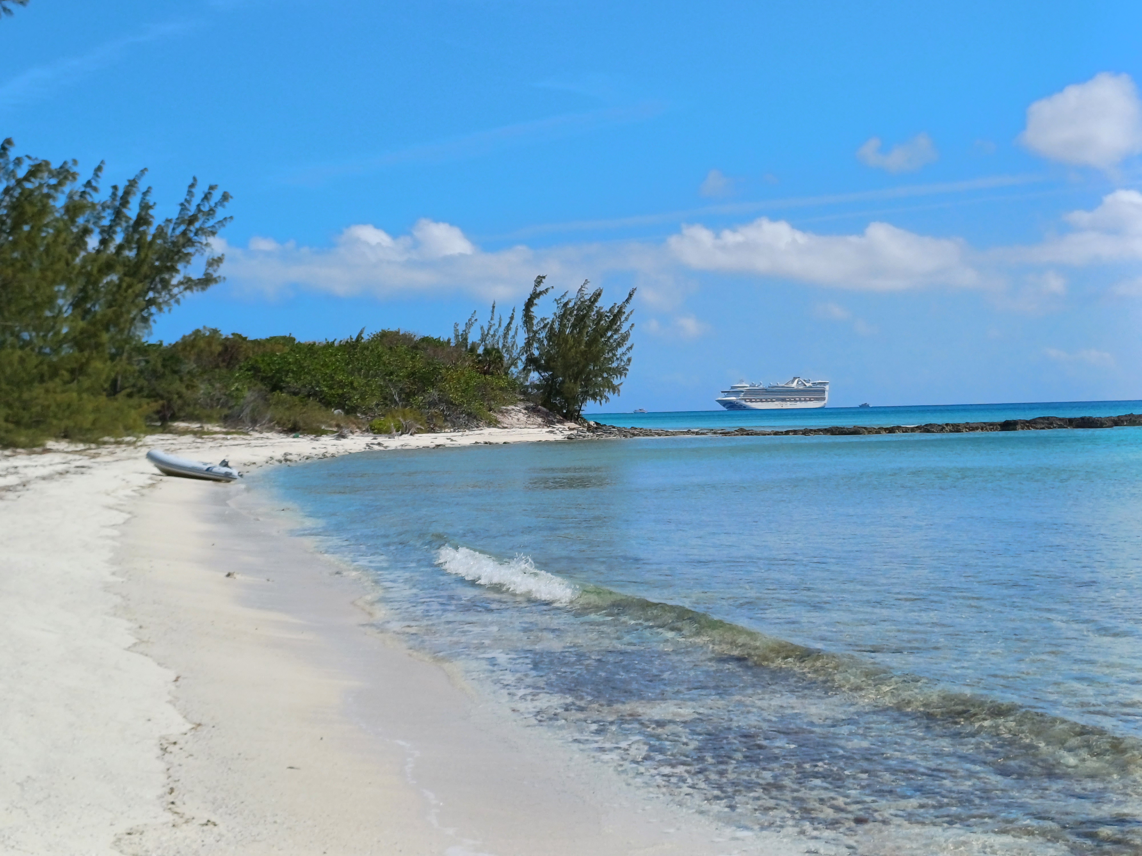
We left at first light and arrived at Conception Island in the late afternoon. It is hard to describe this tiny reef system so many miles from anywhere in the Atlantic. It is so low that we couldn’t see it until we were very close.
For the next couple of days we were battered by northerly winds and we were clearly not destined to step foot on the island because the wind was too strong. Like us, you can make do with exploring it via Google Maps!
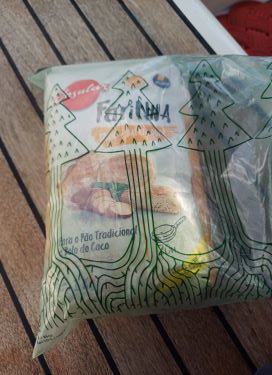
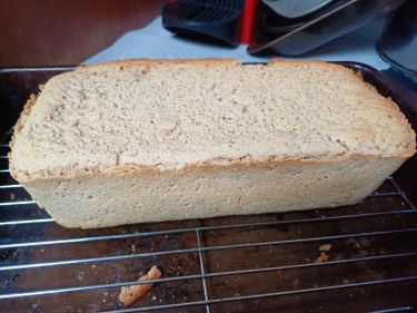
With not much to do whilst trapped on the boat and having run out of fresh bread, I dug out the bolo de caco flour I had bought in Porto Santo and made an attempt at baking bread. The result was a rather dense, aneamic but edible loaf that would satisfy us until we found a more professional alternative!
When the wind changed we were more than ready to move on. In our 10 days in the Bahamas we had set foot on land just three times and we were now out of most fresh supplies. We badly needed a walk and some vegetables! Cat Island, 40nm away, promised good protection from wind, some habitation and a mystery hermitage to explore. We could not get there fast enough.
We anchored in the wonderfully calm but very shallow waters of New Bight and launched the dinghy as soon as we could. Now, as we were learning, the Bahamas are extremely flat islands but Cat Island promised something of a hike to a landmark that looked down across it and our twitching legs were ready to take it on!


Behind the beach we quickly found a tarmac road with an intriguing hill in front of it and we followed it. We found not cats but goats along the way.
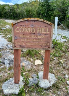

Where the tarmac gave way to a rocky path we found the entrance to one of the most incongruous and unexpected sites we have ever visited. Como Hill is the highest point in the Bahamas at a whopping 63 metres above sea level but it was renamed Mount Alvernia by the Catholic Priest, John Hawes, when he bought the land for $35 and single handedly built the extraordinary hermitage at the top of the hill.

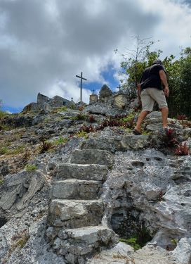

From the entrance we climbed the increasingly vertical steps hewn by Hawes into the rock, passed each of the Stations of the Cross, to be transported back to Greece by the miniature monastery at the top.
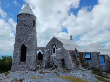
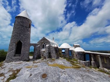
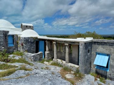
It has a bell tower, a tiny chapel, even a miniature colonnade.
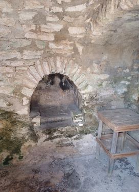

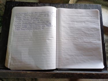
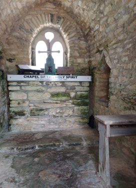
Inside are Hawes’ living quarters including a kitchen and a spare room for guests. We signed the visitors book in the chapel. We weren’t the first cruisers that day to make the hike from the anchorage.
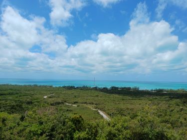
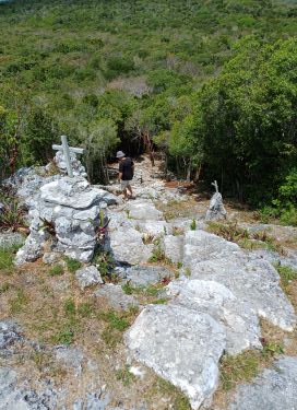
The views from the top across the island were spectacular. The view down the stone steps rather vertiginous!
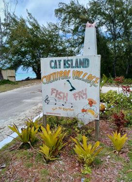
Back down at sea level we found some scattered buildings and a bottle shop. Stopping in to replenish the fridge with beer we witnessed an animated theological discussion between the Jehovah’s Witness woman behind the counter and her Rastafarian customer. (The people of Cat Island are predominantly Jehovah’s Witnesses.) With a few cans in our backpack and a little more knowledge about their respective beliefs we left them to agree to disagree and went in search of Olive’s Bakery, hoping it might have a wider range of foodstuffs than its name suggested.
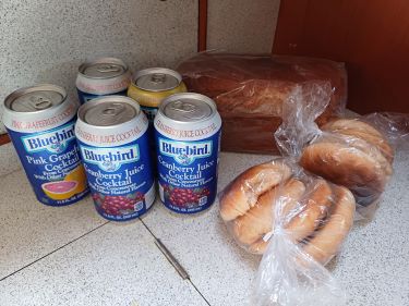
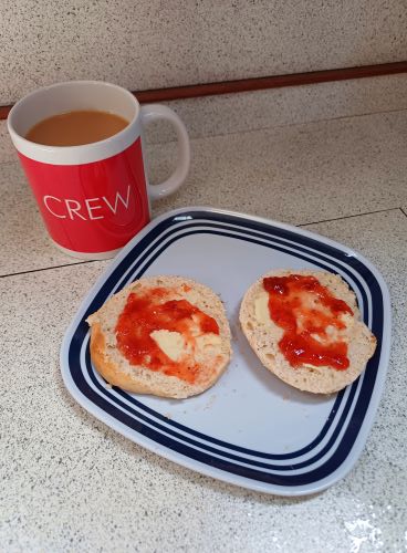
In Olive’s shop, a room at the side of her house, she sold her homemade bread and cakes. There were also some jars of locally made sauces and pickles and a fridge of soft drinks but not a fruit or vegetable in sight. We bought a loaf of brown bread and she persuaded us to try some Bahamian cakes. In an effort to get some vitamins, we also bought some cans of fruit juice. We can report that the Bahamian cakes are very tasty with butter and jam – a lot like a flatter version of a scone with a hint a cinnamon. They are not, however, a substitute for the crunchy fresh vegetables we were by now beginning to crave.
Cat Island was lovely but it had not delivered in the food department. With the prospect of another 80nm before we found another shop we moved on.
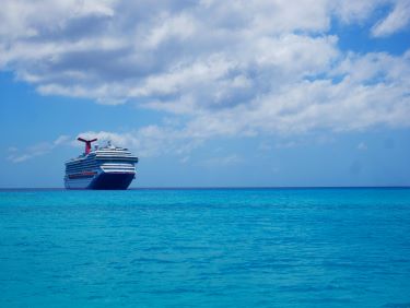


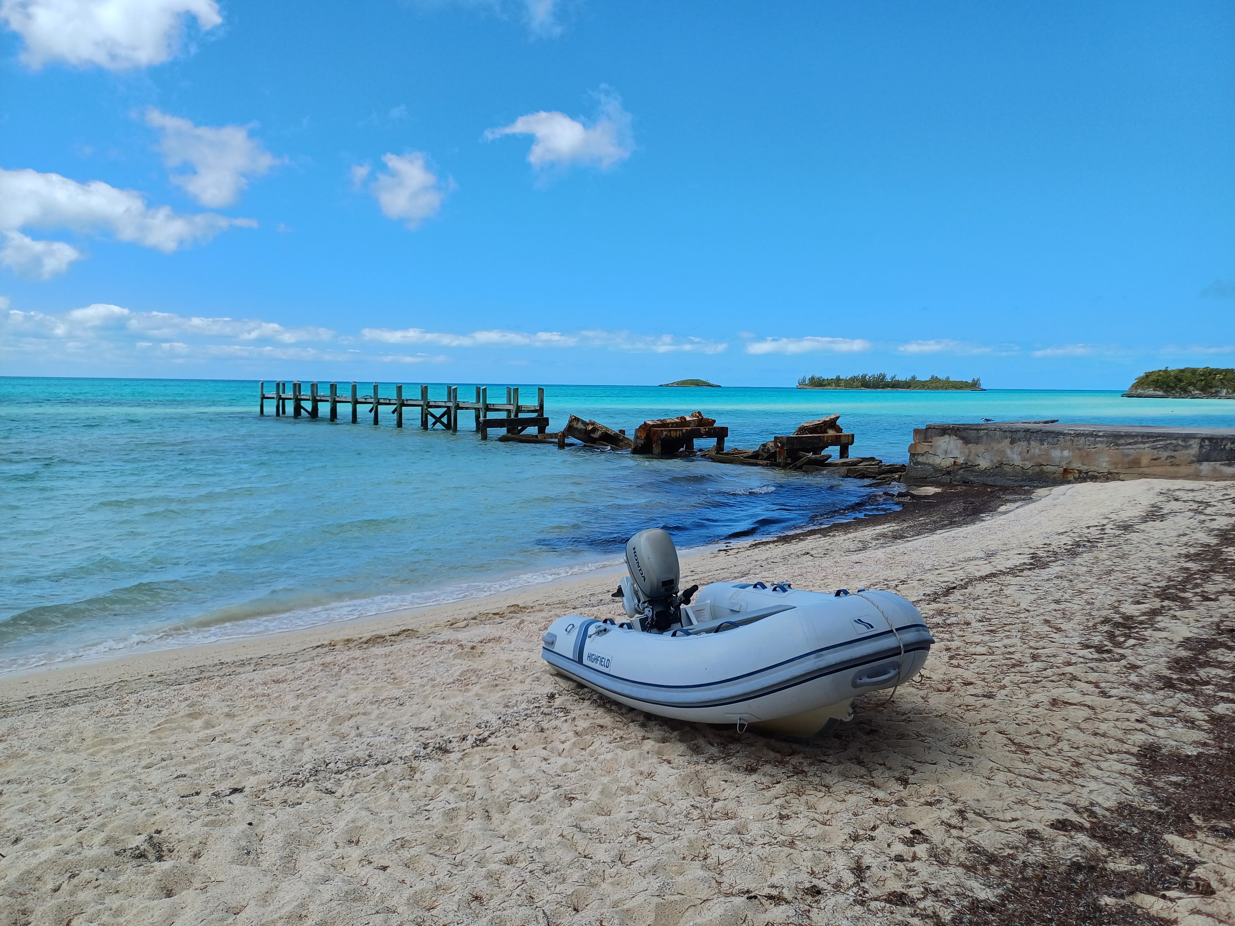
After a night at Alligator Point on the north end of the island, we crossed to tiny Half Moon Cay. This private island is owned by cruise company, Carnival, and every day a cruise ship disgorges its passengers onto the beach for the day. A meal in the pirate ship restaurant and horse-riding were amongst the activities on offer. It was fun to watch them from our place in the anchorage. They all left by 4pm and we had the island to ourselves. The water was so clear and tempting that I ignored the threat of sharks and took a dip. I figured I would be able to see them coming from a distance but didn’t go far from the boat all the same!
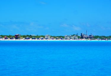
To avoid a long day sailing round into the protection of the inside of Eleuthera Island, the following day we stopped at Millars Bay on the southeast tip and another cruise ship haunt. At least here we had our own private beach to have a walk along.

Our next passage was to be a nerve wracking one. We had to navigate some of the shallowest waters yet to reach the protected waters of the south of the island. The Davis Channel has water as shallow as 2 metres with shifting sand banks on either side. We had to plan our transit at high tide to give ourselves the best chance of avoiding hitting the bottom.
Before entering the channel, we spotted an opportunity to fill up with diesel. We called the marina and they welcomed us in. As Stefan maneuvered the boat alongside the fuel dock – nerve wracking enough after months of not going into a marina – I gave out a rather distracting yell of terror. A huge shark was casually swimming up to us, and then another and another. The marinero at the diesel pump laughed at our fright as he took the lines from me. ‘They are only nurse sharks – completely harmless‘, he said. Harmless or not, an eight foot shark or three isn’t something you often see whilst filling up with diesel.
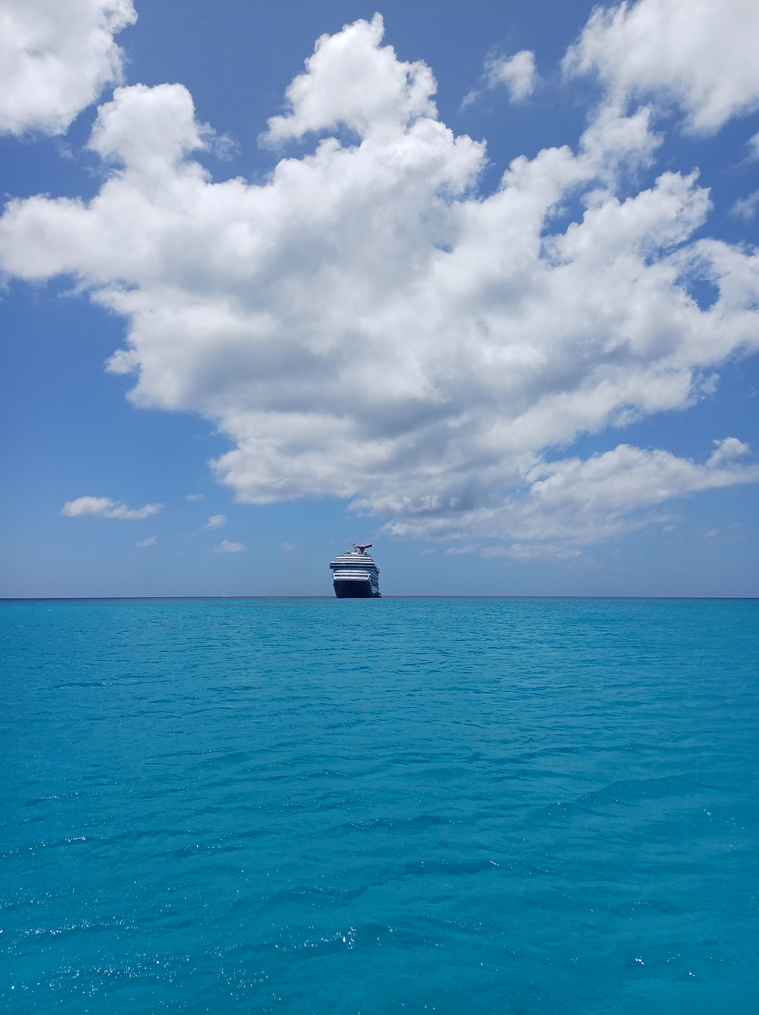
The excitement of the shark encounter over, we went back to tackling our other Bahamian nemesis, shallow water. Once safely through the Davis Channel, the water all the way to Pau Pau Bay was never more than 5 metres deep. Seeing the bottom so clearly was unnerving as we sailed at some speed towards the promise of food!


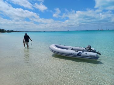
We anchored almost alone in beautiful Pau Pau Bay. It did not immediately promise much civilisation but we had heard of a mythical farm shop full of fresh produce. It was a fair way from the waterfront but we needed a good walk again so pulled the dinghy on the beach and headed inland.
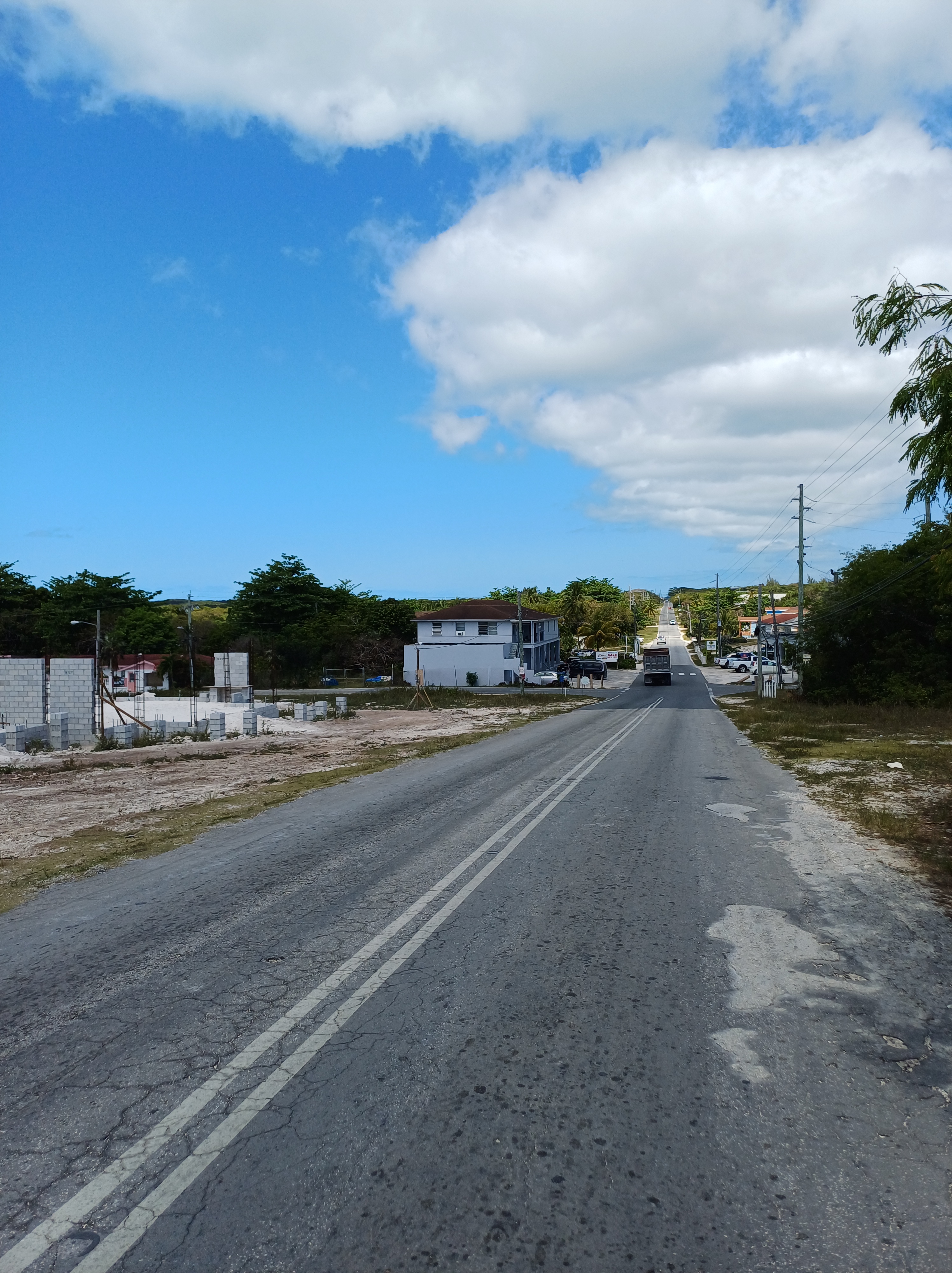
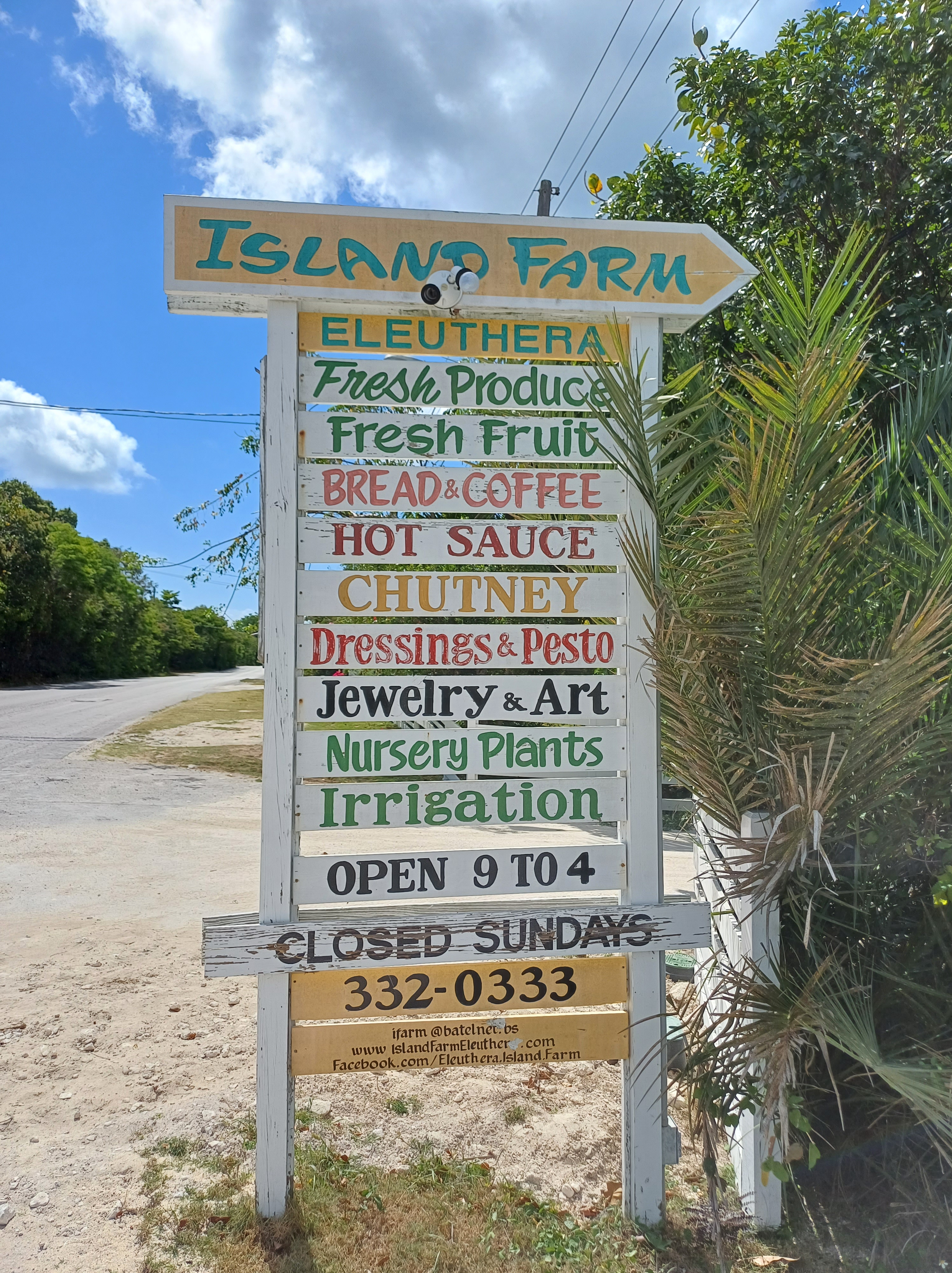
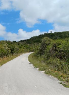
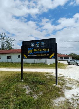
We walked to the main road which forms the backbone of Eleuthera and continued until a sign appeared – the farm shop was no myth
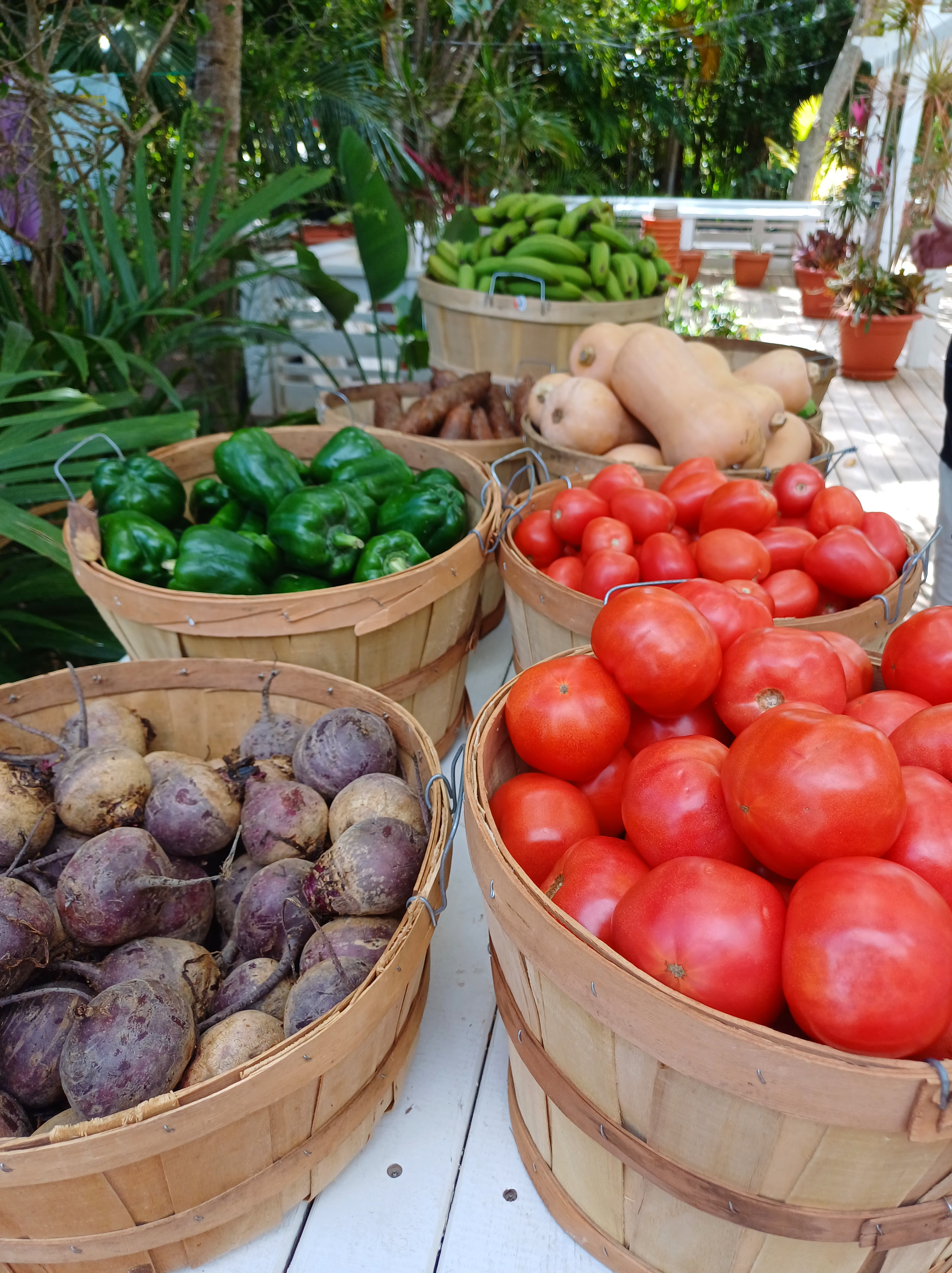
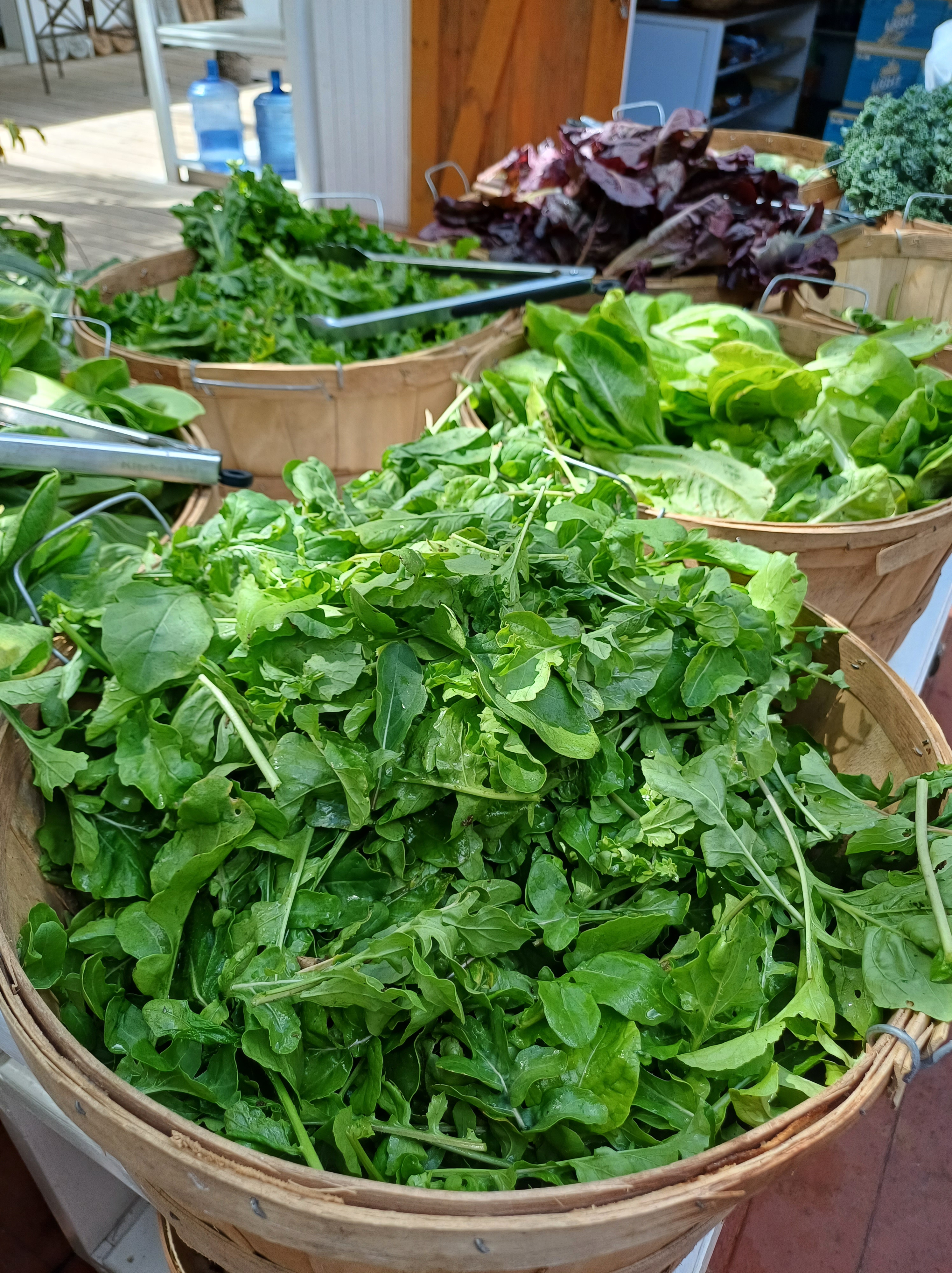

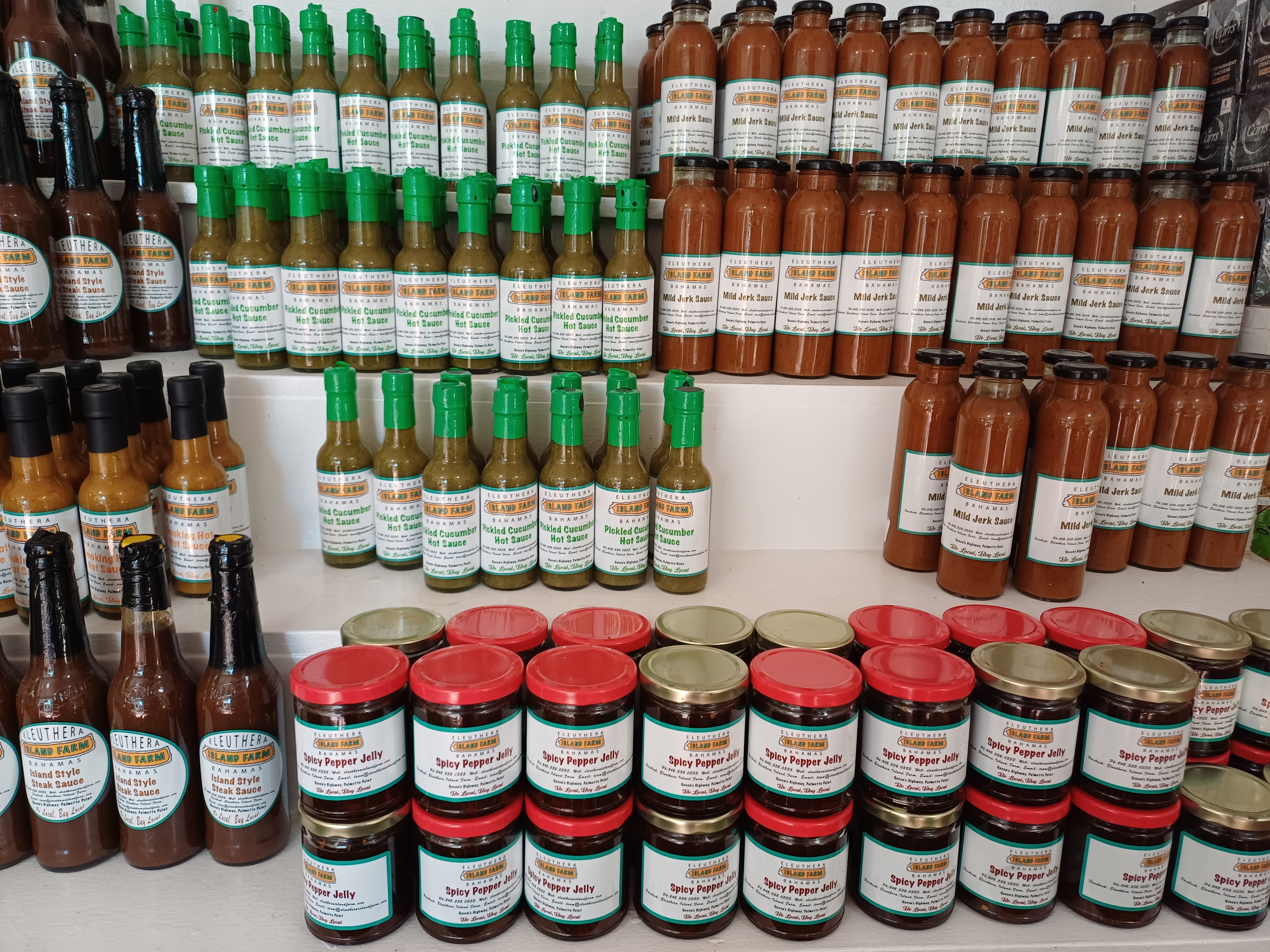

and it was open! There were no prices on the widest variety of fresh fruit and vegetables that we had seen anywhere in the Caribbean islands but we didn’t care as we grabbed all the fresh produce we had been craving.
With our very expensive but delicious haul on our backs we started out on the long walk back…
